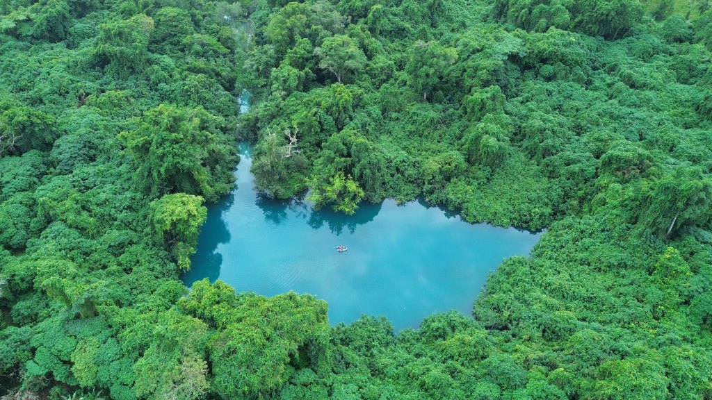
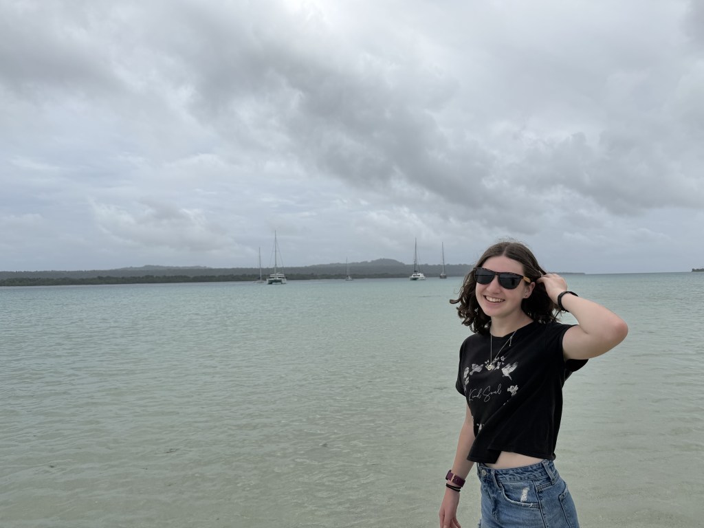
Had a long daysail across to an anchorage between Aore and Ratua Islands. I had gone down for a nap and felt the motion of the boat change, waking me up. It felt like we were surfing…fast. I got out of bed and found that the wind and standing waves had built in Malo Channel, with interesting swirling currents, all with our asymmetric spinnaker up; Chris was at the helm handsteering through it all, going from fun surfing to squirrely sailing. In a brief lull, Calder and I managed to get the sail down, engines on, and steered around the reef into our anchorage where we saw 5.2 feet depth. What a wiley way to wake whilst napping!
As we were anchoring, our barefeet were leaving very black footprints; the boat was covered in fine volcanic ash. The nearby volcano on Ambae Island is quite active (Level 3), canceling local flights and covering the area with fine particulate.
The next day we drove up a narrow beautiful channel of clear water through the jungle to Malo Blue Hole.
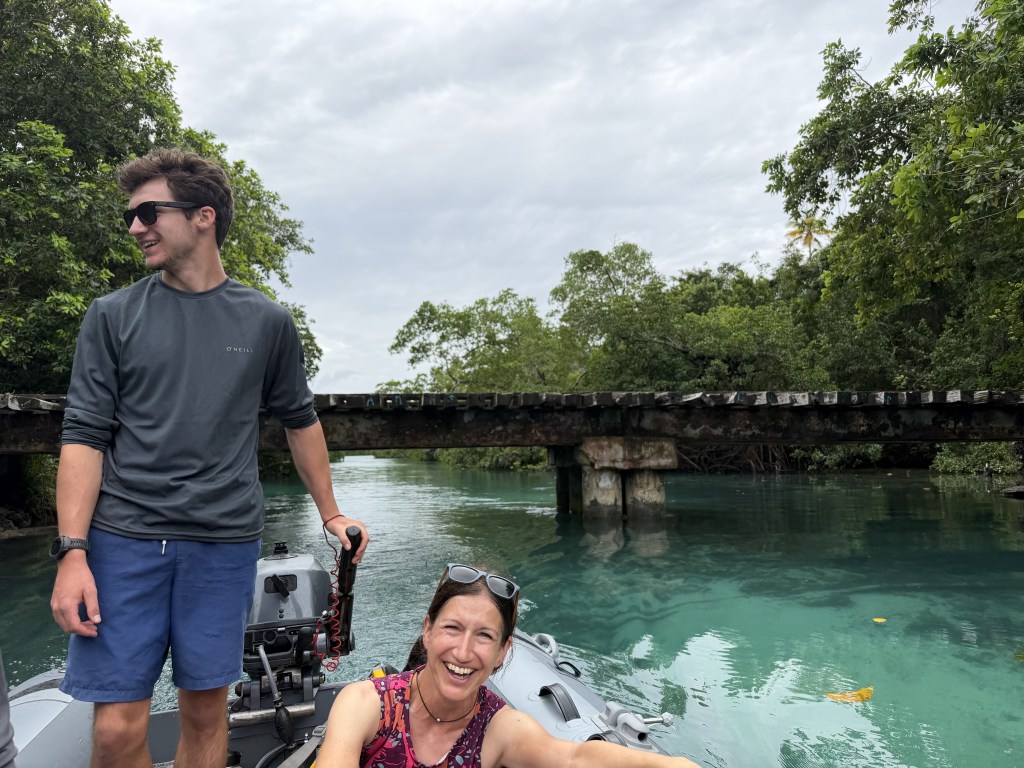
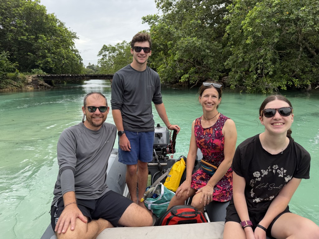
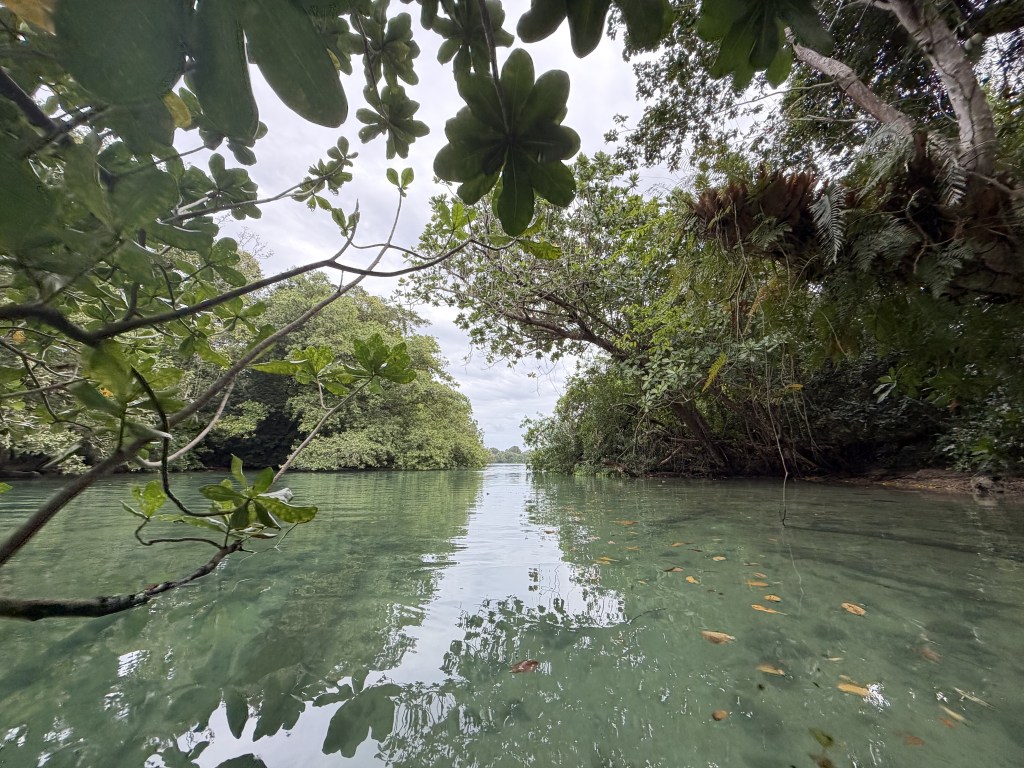
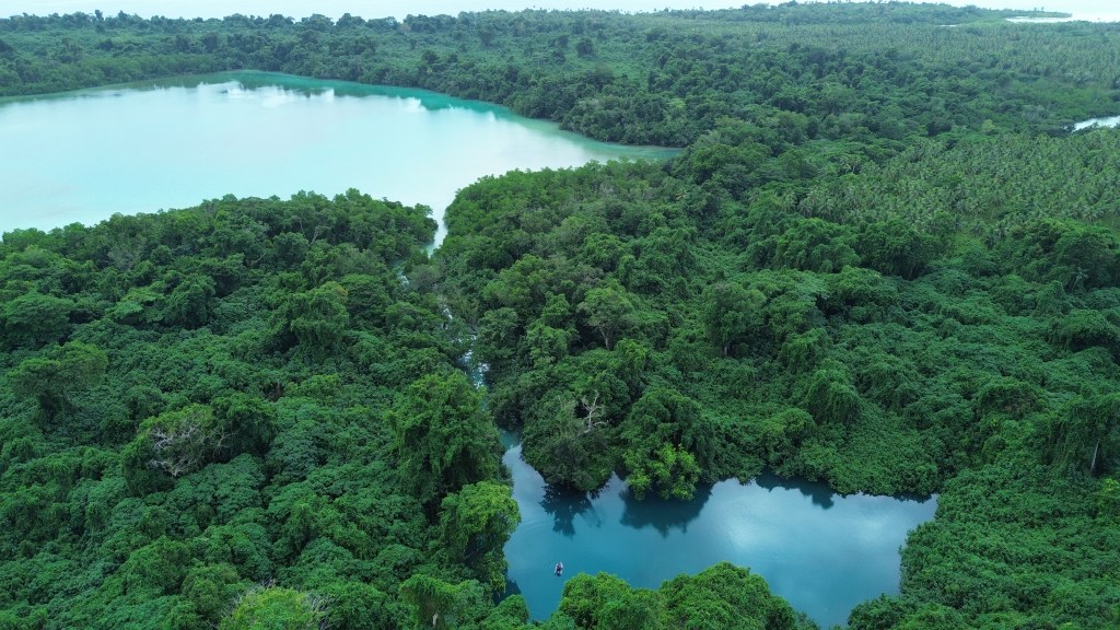
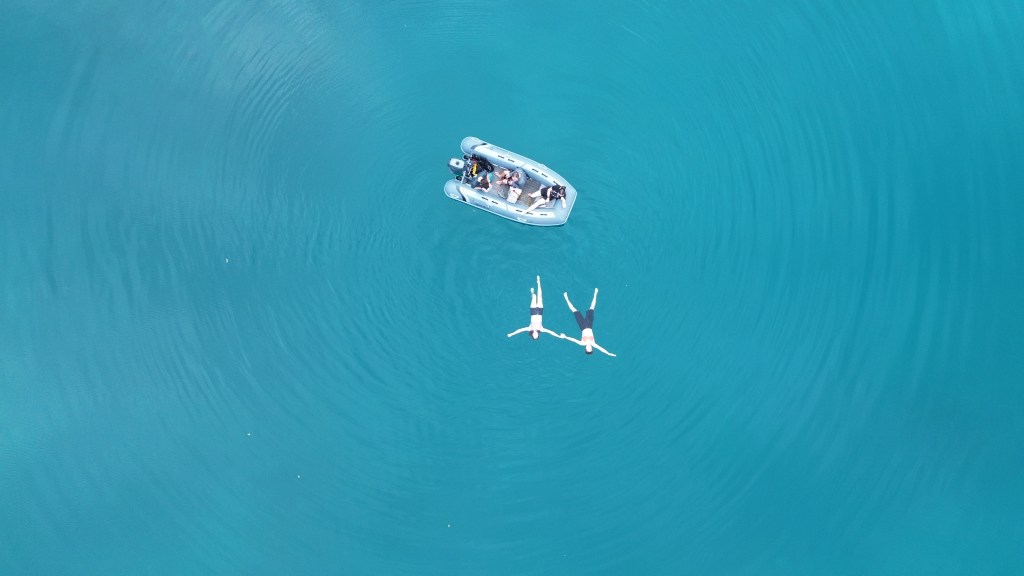
Vanuatu’s famous blue holes are crystal-clear freshwater springs fed by underground limestone aquifers, whose brilliantly blue color results from exceptionally pure water, white limestone bottoms, and the way sunlight scatters through the water. Looking underwater was reportedly quite eerie, so I chose to jump in and swim without looking underwater!
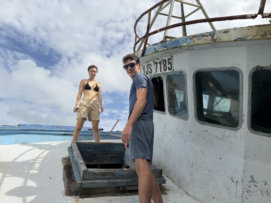
Back at the anchorage, we explored the underwater world of the reef, snorkeling among a delightful variety of colorful fish, then dinked around several intriguing shipwrecks—likely remnants from past cyclones.
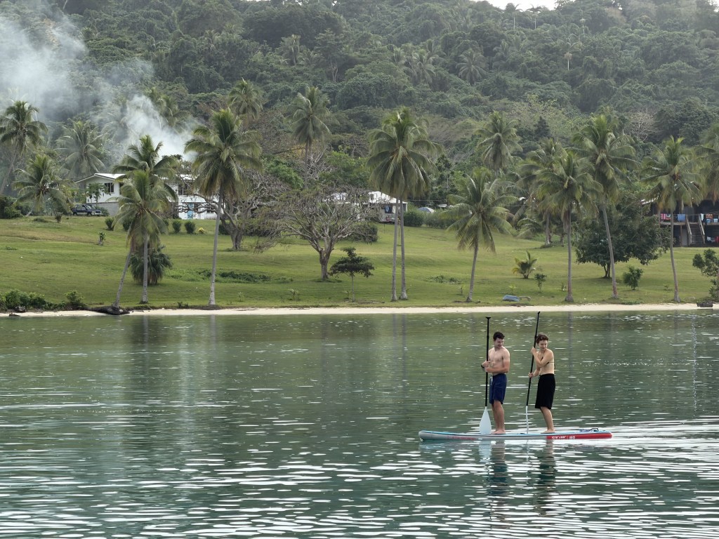
Our anchorage was a playground for giant sea turtles, which we loved watching as we paddleboarded among them, and even a dugong made a surprise appearance right beside our boat.
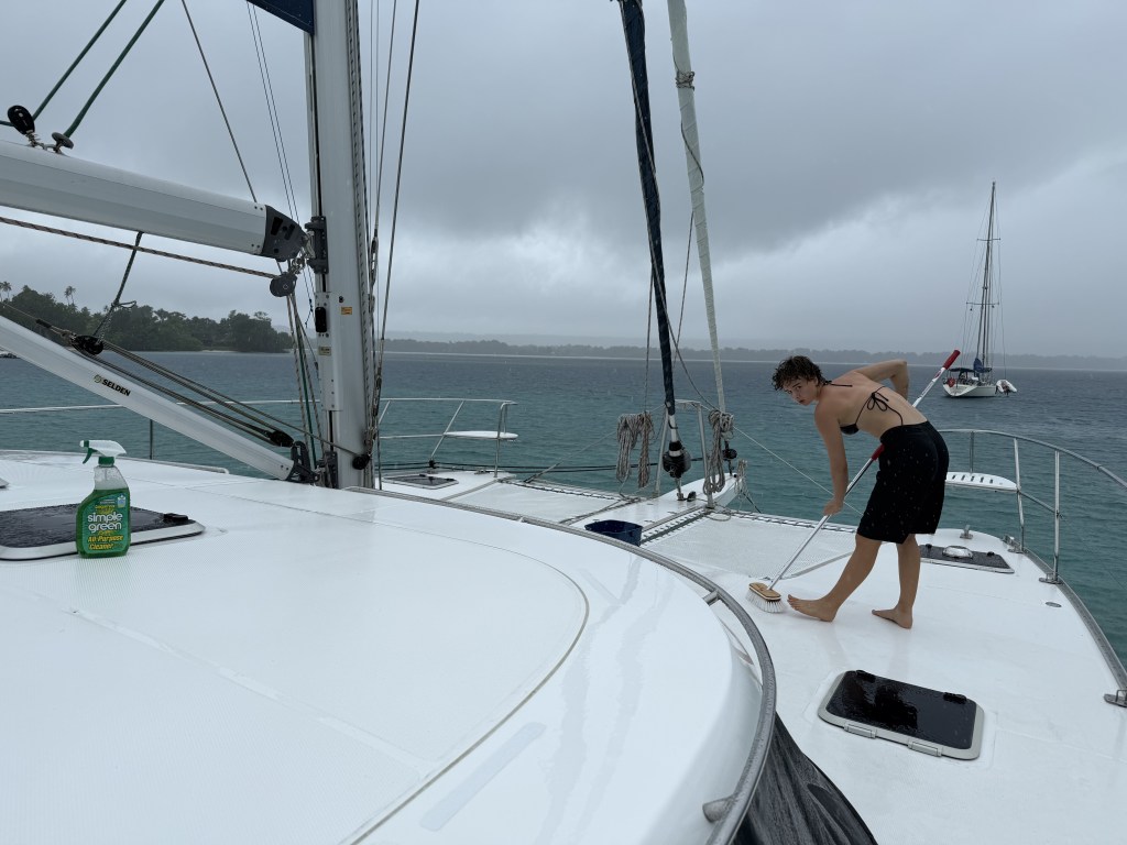
Then the rain arrived, which was good timing for Chris and Lauren to scrub the ash off in the deluge, and gave us two quiet days aboard for work, school, games, and catching up on chores.
Quick motor to Aisari Bay, Aore Island anchorage for 2 nights, having to time the tide and as such, arrived just at sunset but still able to see the reefs to avoid on the way in. The highlight here was wingfoiling, where Calder was stoked to hit a new max speed and highest jump.
Around the corner, we tied to a mooring ball at Aore Adventure Sports & Lodging on Aore Island across from the town of Luganville on Espiritu Santo. Espiritu Santo, the country’s largest island, is home to about 37,300 people and is celebrated for its lush rainforests, pristine coastline, crystal-clear freshwater blue holes, and rich World War II history. Luganville, with a population of about 17,700, is Vanuatu’s second-largest city (after Port Vila) and the commercial center of northern Vanuatu.
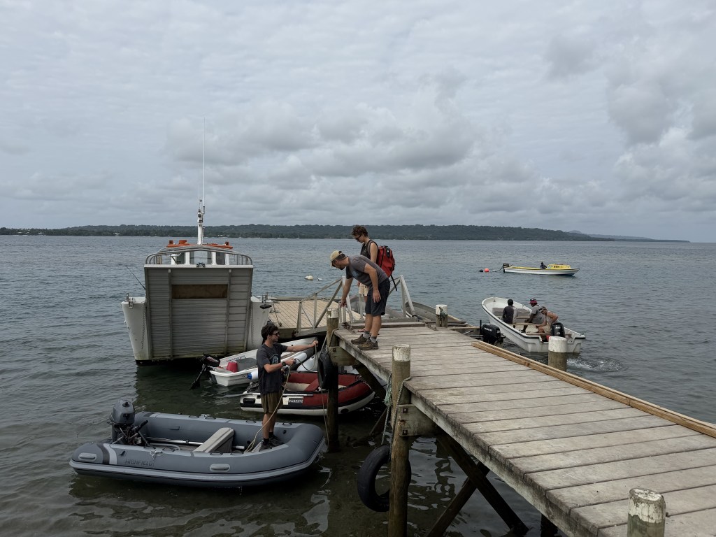
The anchorage in front of Luganville itself is notoriously rolly with its open exposure to the predominant trade winds, but these mooring balls about 1.4 miles across the way are quite a bit calmer. Aore Island has a strong ex-pat presence with grand beautiful houses along the waterfront, though there are also traditional villages more inland. The dirt roads make for lovely walking (and running for Calder) and we went to Aore Island Coffee Roastery for breakfast on Sunday, purchasing a bag of their small production beans. We ended up spending 6 nights exploring this area and re-provisioning for the remote Solomons and PNG. The first day was a SCUBA dive experience, that I’ll let Calder describe:
In the morning, we took t2 over to the dock where the dive boat was tied. We made sure the rental wetsuits and fins fit, then got in the boat for a 15 minute ride to the SS President Coolidge wreck, a 199 m long and 24.7 m wide (654 ft by 81 ft) passenger ship converted to war ship in 1941 for WWII supply operations in the South Pacific. After hitting friendly mines entering the harbor, it drifted to the coast, where it sank and slipped down the steep dropoff. We tied off at a mooring ball attached to the bow of the ship and jumped in. After getting our dive gear on, we descended 20 m (65 ft) to the bow. As we descended, it was hard to tell there was a ship below us, for all I could see was a flat expanse that filled my entire view. It was only when we were halfway to the bottom that I realized that the bottom was not the bottom, but the starboard side of the Coolidge, which gave me a bit of an idea of the scale of the ship. We swam along the top side until we were halfway to the stern, and halfway out of air. Because the ship’s bow is much shallower than the stern, you need advanced gear to dive there, which we are not certified with, so at 29 m (95 ft) we turned around and swam back to the bow via the starboard side. We were shown a large pile of rockets, rusted automatic rifles, and a crate of plates and tea cups, before leaving the ship behind and ascending to the surface. At a decompression stop at 6 m (19 ft) there was an earthquake, which was a strange feeling underwater, and you could see the bottom shaking and sediment rising up.
After surfacing, getting in the boat, having a bit of lunch, and waiting a few hours to avoid decompression sickness, we moved to the next dive location, Million Dollar Point. It is estimated that over 100 million USD (modern day amount) worth of military equipment was dumped here after the war. We descended here, where we saw a small ship and a massive amount of military trucks, tanks, bulldozers, and other heavy machinery used in the war. There were nudibranchs, electric clams, and a turtle, otherwise not much marine life, but the structures were very cool. The guide got into the cab of a truck and pretended to drive it, then back to the dive boat for a semi-rough ride back to the boat. These were the first wreck dives for my dad and I, and we found them to be very cool, like nothing we’d seen before.
Luganville itself is an interesting town, a melding of indigenous people, ex pats from New Zealand and Australia, cowboy culture, all set against the history of USA WW2 presence.
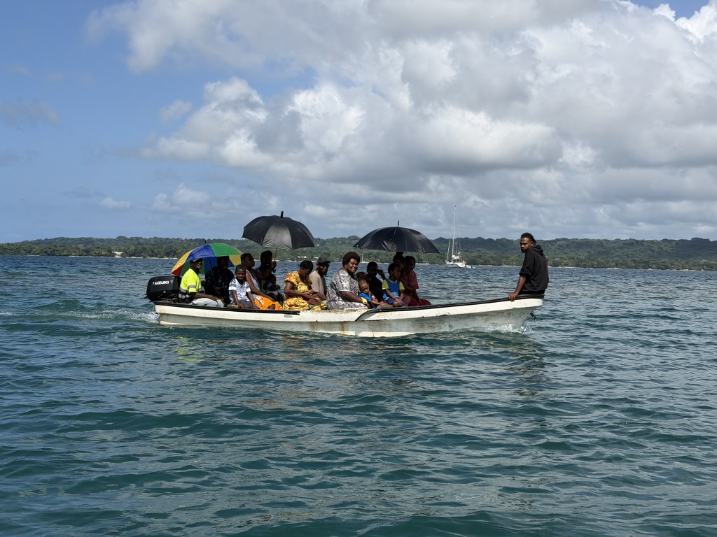
The roads are much wider than those typically seen in the South Pacific, built by the USA military for 4 trucks to drive side-by-side. In fact, we even drove down one of the old WW2 airport runways at one point, now just a very wide, straight section of dirt road. It is a bustling town with lots of taxis and other vehicles, more than we anticipated. Resorts and many of the structures in Vanuatu range from brand-new rebuilds to destroyed ruins, and everything in between, a sign of frequent natural disasters here. Sitting at anchor the day after the diving earthquake was felt, we had another couple earthquakes, one of 6.1 magnitude that caused our boat to vibrate in the water for 30 seconds. The number of shipwrecks here also set it apart, from military wrecks to sailboats that didn’t escape the cyclone barreling down. Boats just left, sunk in the shallows and unable to get repaired. Even some of the inter-island supply ships look as if they could be derelicts if they were left to sit, but continue in regular use.
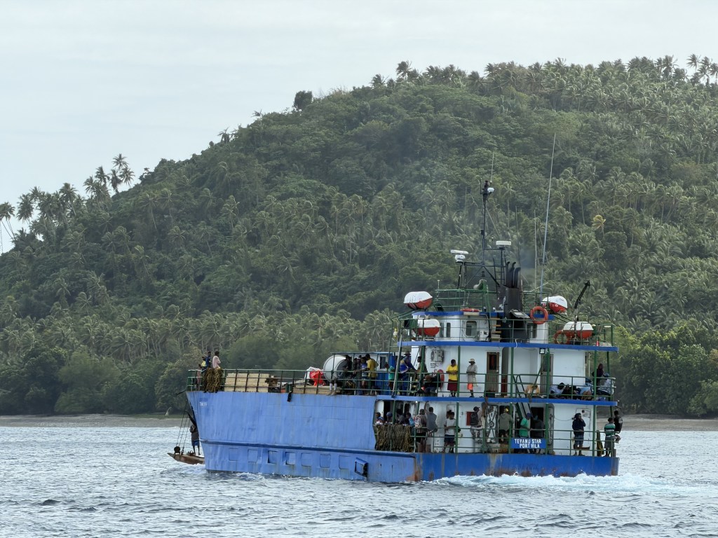
The main street of town itself is a mix of the usual general stores that sell everything from canned meats (a big thing here) to clothing to barbed wire fencing. It takes going into each store to find all the items on one’s wish list, and there are often hidden gems only seen at one store. For example, we found canned Wild Caught Alaska Red Salmon at one shop; happily “caught” that in our shopping basket, as protein sources (besides beans and random bags of chicken parts) are hard to come by. Our fishing has been less successful lately. Across the western Pacific, vast distant-water fishing fleets—particularly from China, Taiwan, Japan, and South Korea—operate throughout the region, raising concerns among many Pacific Islanders about declining fish stocks and the long-term sustainability of their marine resources. I felt a bit guilty buying up the Australia chicken breasts at a local store (Chris thought I might take someone out as I barreled through!), but feeding a teenage boy is no small task and calls for desperate measures, mainly when heading as remotely as we will be for the next 3 months. The town had a small but nice local market, where we loaded up on bok choy, watermelon, pamplemousse, papaya, green onions, cucumbers, tomatoes, green peppers, limes, potatoes, pumpkin, and kumara chips. There was a strong odor wafting through and we found its source unwittingly, a large dead cow that had flooded down into the river with the recent rains, now rotting under the town’s main bridge. We dinghied up the river to obtain diesel and propane, Chris and Calder returning with the typical stories of one station closed for a couple hours due to a funeral, but locals providing a ride back and forth to another, happy to help. We tried to get our money exchanged for Solomon dollars, but there were none in town. I finished obtaining our malaria prevention meds.
We were in town for an annual event that has been held for over 50 years…The Santo Rodeo! It was the oddest jumbling of worlds, as we listened to American country music over the speakers, surrounded by ni-Vanuatu riding their horses and cheering on the rodeo events. It seems surprising until you learn about Espiritu Santo’s cattle industry. During the colonial era, large cattle ranches were established on Santo by British and French planters, taking advantage of the island’s extensive grasslands. Today, Santo is famous throughout the Pacific for its high-quality grass-fed “Santo Beef,” and many ni-Vanuatu work as cattlemen, horsemen, and ranchers. The rodeo naturally evolved as a celebration of those stock-handling skills, much like bush rodeos in rural Australia, whose ranching traditions strongly influenced Santo.
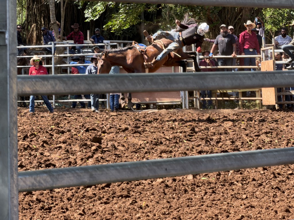
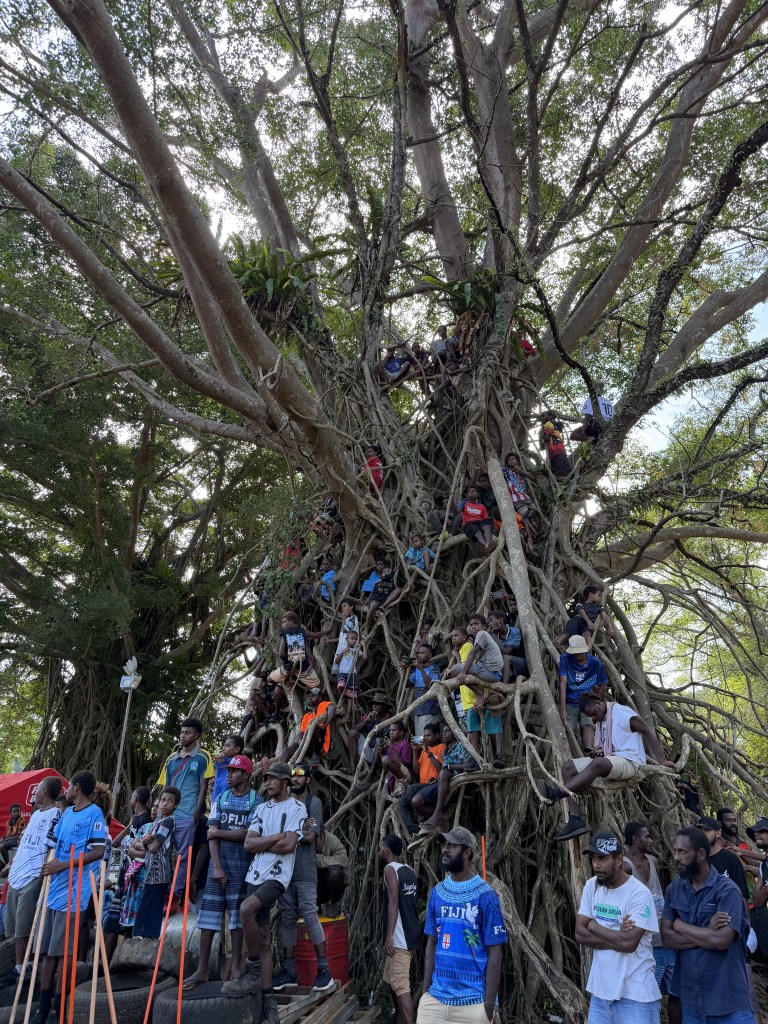
Our family had never been to a rodeo before so it was all new. The bucking bronco event was fairly traumatic, as locals (wearing helmets) were flung off their horses and one guy was slammed into the metal fence, a local woman gasping and grabbing onto me when a horse charged the fence where we stood. There were over one hundred horses tied up to the banyan trees in the area, and kids climbed into the trees themselves to watch the events.
A highlight of our time here was The Millenium Cave tour, a full-on jungle expedition that left us sore and tired the next day. After a brief orientation in town and a 25 min drive out of Luganville, we found ourselves in a traditional rural village. We walked along an active road construction project staffed by Chinese workers and equipment.
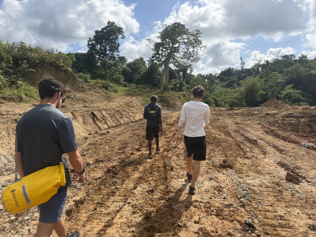
Local residents told us the road’s primary purpose was to provide access to a proposed mining area, reflecting both the economic opportunities and concerns that accompany foreign investment in Vanuatu’s natural resources. We turned into the jungle where we walked across a bamboo bridge and through muddy forest to another remote village where the tour officially began, obtaining our life jackets and flashlights.
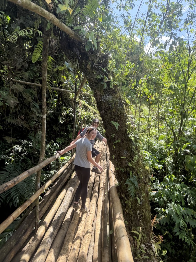
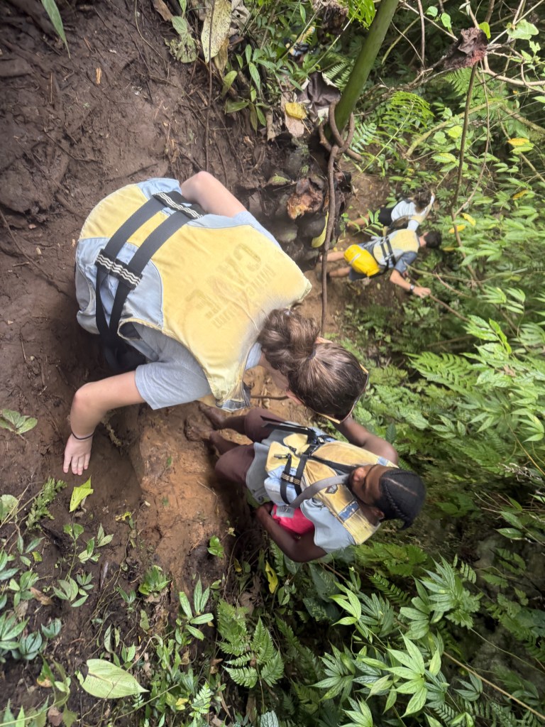
We then hiked for an hour through the jungle and stands of bamboo, then slid down (and fell down) steep muddy slopes to the entrance of the cave.
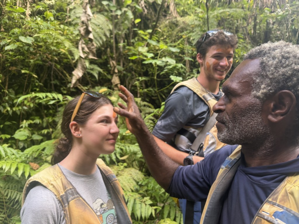
Our faces were painted with mud symbols to represent the sacredness of the cave – bats, swallows, waterfall, rocks, and the river.
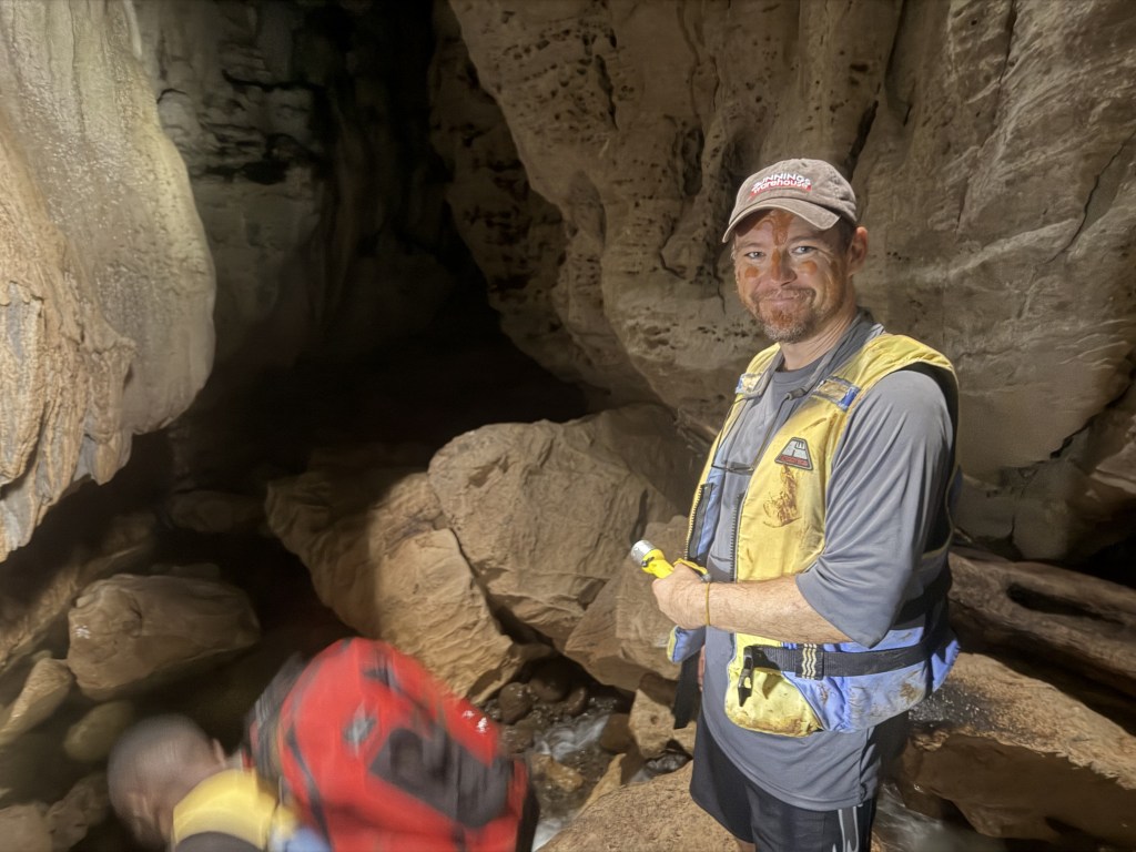
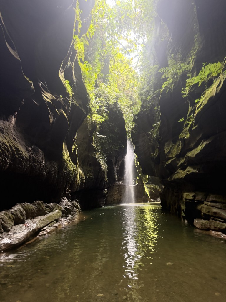
Then we went in. For 45 minutes we climbed, slipped, waded, and swam through the dark cave by flashlight. The guides were helpful and attentive as we made our way through. Bats roosted above, swallows flitted about, and a waterfall ran down inside the cave.
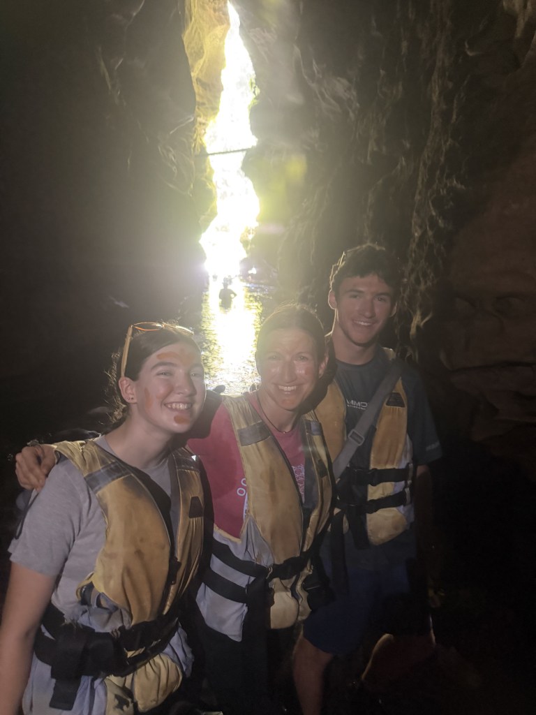
The light at the end beckoned us, as we had one swim out to a rocky sand bar where we ate the lunch we had brought along (in dry bags thankfully!).
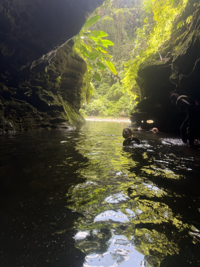
That was just the beginning of our adventure. Next, we worked our way down the canyon, first climbing massive boulders, then swimming down river. Floating on my back looking up into the lush jungle overhanging the canyon was surreal.
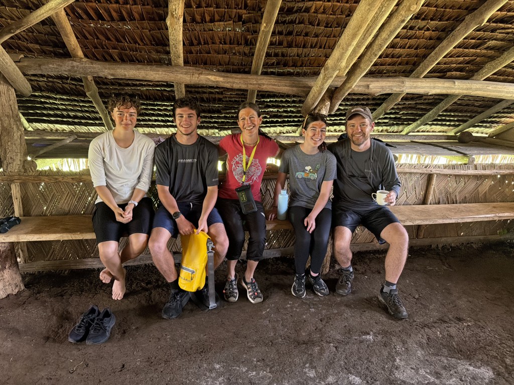
Our final adventure was a steep climb out of the canyon on a series of wooden ladders (in various forms of construction, repairs and decay), before walking across a palm grove to where we started, greeted by coffee and fresh fruit. It was a truly awesome day and we arrived back to Luganville exhausted and exhilarated!
There’s more ash on our boat from the nearby volcano and Lauren’s flight was delayed due to an ash cloud that has drifted into the flight path between Vanuatu and Fiji, so she had to spend an unexpected night in Port Vila. Not ideal but seems a common theme with the flights here.
One last town run for final provisions, before we turned the bow of Terikah north for our final weeks in Vanuatu.
 SV Terikah Adventures
2 responses to “Vanuatu: Aore Island & Luganville Adventures”
Hey Jen,Brent and I really enjoyed your Vanuatu travelogue! We are impressed with the research you do everywhere you go. You did some great things that we didn’t do, somewhat because of our timing, but we didn’t know about a few of the things you did either. So glad you got to do the Millennium Cave tour! Not sure if you remember, but we couldn’t do it because of timing of us going back to CA for our son’s wedding last year, although we knew it was supposed to be a highlight. Your awesome description of the tour makes us want to try to do it next year when we pass back through Vanuatu
LikeLike
Thank you. Great descriptions
Sent from Yahoo Mail for iPhone
LikeLike